Engineering Surveying Australia
Engineering Surveying, UAV Mapping & Licensed Surveyors | Survey Operations
Survey Operations
Survey Operations is a leading Australian surveying company delivering engineering surveying, licensed surveying, UAV mapping, laser scanning, spatial data capture and digital engineering solutions across Victoria, Queensland and the Northern Territory.
We support infrastructure, transport, mining, energy, utilities, government and construction projects with accurate, reliable and innovative survey solutions. Our experienced surveyors utilise the latest survey technology, drones, LiDAR, GPS, laser scanning and digital engineering workflows to help clients deliver projects safely, efficiently and on schedule.
Whether you require construction set-out, cadastral surveying, UAV aerial mapping, 3D laser scanning or digital terrain modelling, Survey Operations provides end-to-end surveying solutions tailored to your project requirements.
Engineering Surveying Services

Engineering & Construction Surveying
Construction set-out • Control networks • Machine control models • Bulk earthworks surveys • Utility surveys
Licensed Surveying Services
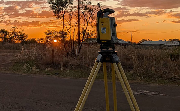
Survey Operations provides licensed cadastral surveying services in Victoria and the Northern Territory.
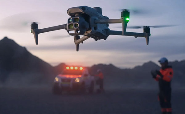
UAV & Drone Surveying Solutions
Our drone surveying team delivers fast and accurate aerial data capture for infrastructure, mining, quarry and construction projects.
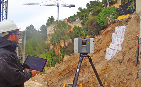
Laser Scanning & Reality Capture
Using advanced laser scanning and LiDAR technology, we create highly accurate point clouds and digital models for infrastructure, industrial and construction projects.

Utilities, Energy & Power Infrastructure
Powerline and transmission corridor flyovers, Grid infrastructure verification and inspections, Utility mapping and asset validation & Remote infrastructure surveys.
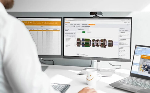
Spatial & Digital Engineering
Flood modelling and terrain analysis, Digital surface and subgrade modelling, 12d, BIM, and GIS workflows, and Data management and cloud collaboration
Why Survey Operations?
- Experienced engineering and spatial survey professionals
- Advanced UAV, scanning, and digital engineering capability
- Strong focus on safety, quality, and accuracy
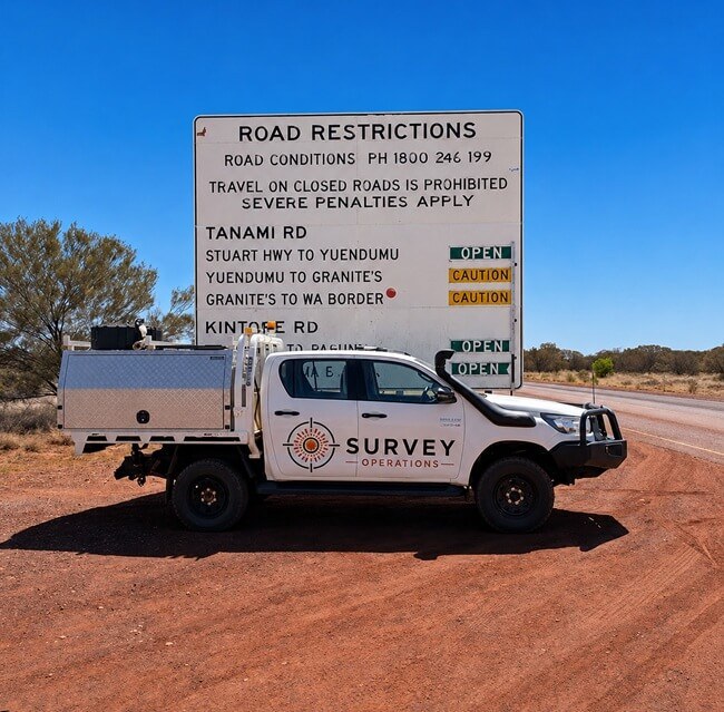
- Flexible deployment across metropolitan and remote regions
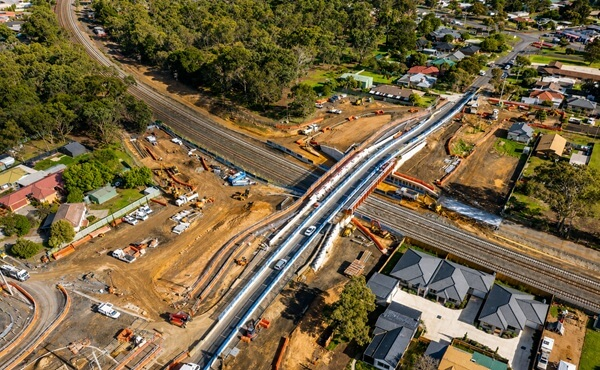
- Proven delivery on complex infrastructure and resource projects
- Modern workflows integrating UAV, scanning, BIM, and survey data systems