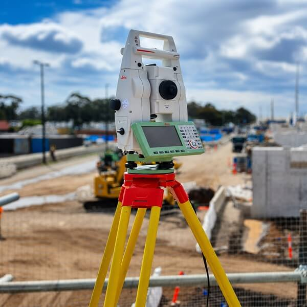
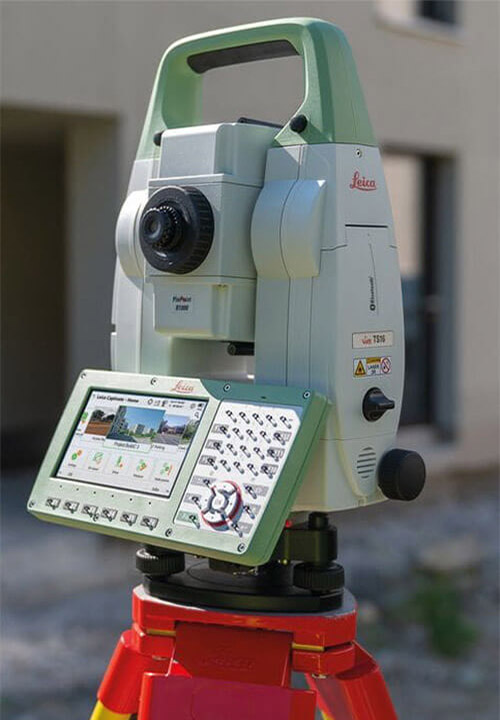
Survey Operations delivers engineering surveying, licensed surveying, UAV mapping, laser scanning and digital engineering services across Victoria, Queensland and the Northern Territory.
Survey Operations combines extensive field experience with modern technology to provide high-quality surveying and spatial services throughout Australia.
Our team works across metropolitan, regional and remote environments, supporting complex civil, rail, road, mining, utilities and energy projects. We utilise advanced software including 12d Model, 12d Synergy, Trimble Business Center, Propeller and Global Mapper to deliver precise survey outcomes and actionable project data.