Engineering & Construction Surveying
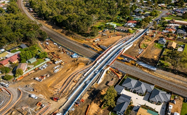
• Civil, road, rail, bridge, and infrastructure set-out
• Bulk earthworks and machine control
• Structural and utility surveying
• Control networks and monitoring
• As-built surveys and conformance reporting
• Digital engineering and BIM integration
• Feature and detail surveys
Licensed Surveying Services
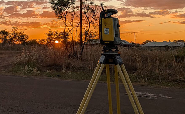
Survey Operations provides licensed cadastral surveying services in Victoria and the Northern Territory.
We assist with title re-establishment surveys, subdivisions, boundary identification, compliance surveys, feature and level surveys and development projects requiring licensed surveyor certification.

UAV & Drone Surveying Solutions
Our drone surveying team delivers fast and accurate aerial data capture for infrastructure, mining, quarry and construction projects.
Services include topographic surveys, stockpile volume calculations, orthophoto generation, digital terrain models, progress monitoring and corridor mapping.
Laser Scanning & Reality Capture
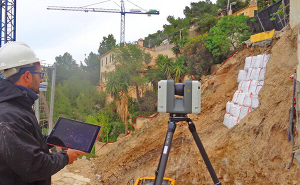
Using advanced laser scanning and LiDAR technology, we create highly accurate point clouds and digital models for infrastructure, industrial and construction projects.
Applications include scan-to-BIM, digital twins, structural verification and asset management.

Utilities, Energy & Power Infrastructure
• Powerline and transmission corridor flyovers
• Grid infrastructure verification and inspections
• Utility mapping and asset validation
• Renewable energy and wind farm surveying
• Remote infrastructure surveys
Spatial & Digital Engineering
• Flood modelling and terrain analysis
• Digital surface and subgrade modelling
• 12d, BIM, and GIS workflows
• Data management and cloud collaboration
• Machine control model preparation
• QA systems and survey verification processes