
Engineering & Licensed Surveyors in Darwin, NT
Looking for an experienced land surveyor in Darwin for your next construction, infrastructure, development, or property project? Survey Operations provides professional surveying services in Darwin and across the Northern Territory. Our capabilities cover engineering and construction surveying, licensed cadastral surveying, UAV and drone mapping, 3D laser scanning, reality capture, and spatial and digital engineering.
From residential boundary identification and land subdivisions to major civil works, transport corridors, utilities, mining, energy, and commercial developments, our survey teams provide accurate spatial information to support better decisions throughout the project lifecycle. With modern survey technology and practical experience working across metropolitan, regional, and remote locations, we can support projects of varying size and complexity throughout Darwin and the wider NT.
Need a Surveyor in Darwin?
Speak with Survey Operations about your project requirements and get the right surveying support from the start.
Professional Surveying Services in Darwin

Engineering & Construction Surveying
Construction set-out, control networks, bulk earthworks, machine control, structural surveys, utility mapping, as-builts, and verification for civil and infrastructure projects.
Licensed Cadastral & Boundary Surveying
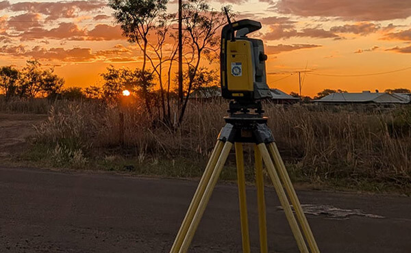
Our licensed surveyors in Darwin provide boundary identification, title re-establishment, subdivisions, easement surveys, and other cadastral services across the NT.

UAV & Drone Surveying
Rapid aerial mapping, topographic surveys, orthomosaics, terrain modelling, stockpile volumes, progress monitoring, and remote-site data capture.
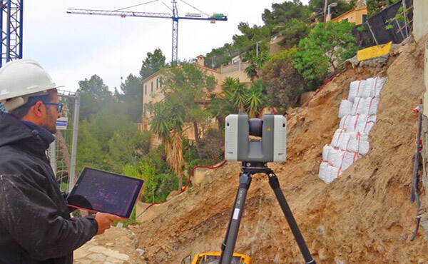
3D Laser Scanning & Reality Capture
High-density LiDAR point clouds and detailed digital models for infrastructure, buildings, industrial facilities, structural verification, and Scan-to-BIM workflows.

Utilities, Energy & Infrastructure Surveying
Surveying support for roads, transport corridors, utilities, power, energy, mining, and major civil infrastructure projects across Darwin and regional NT.

Spatial & Digital Engineering
Integration of survey data into 12d, BIM, GIS, machine control, terrain modelling, QA, and other digital engineering workflows.
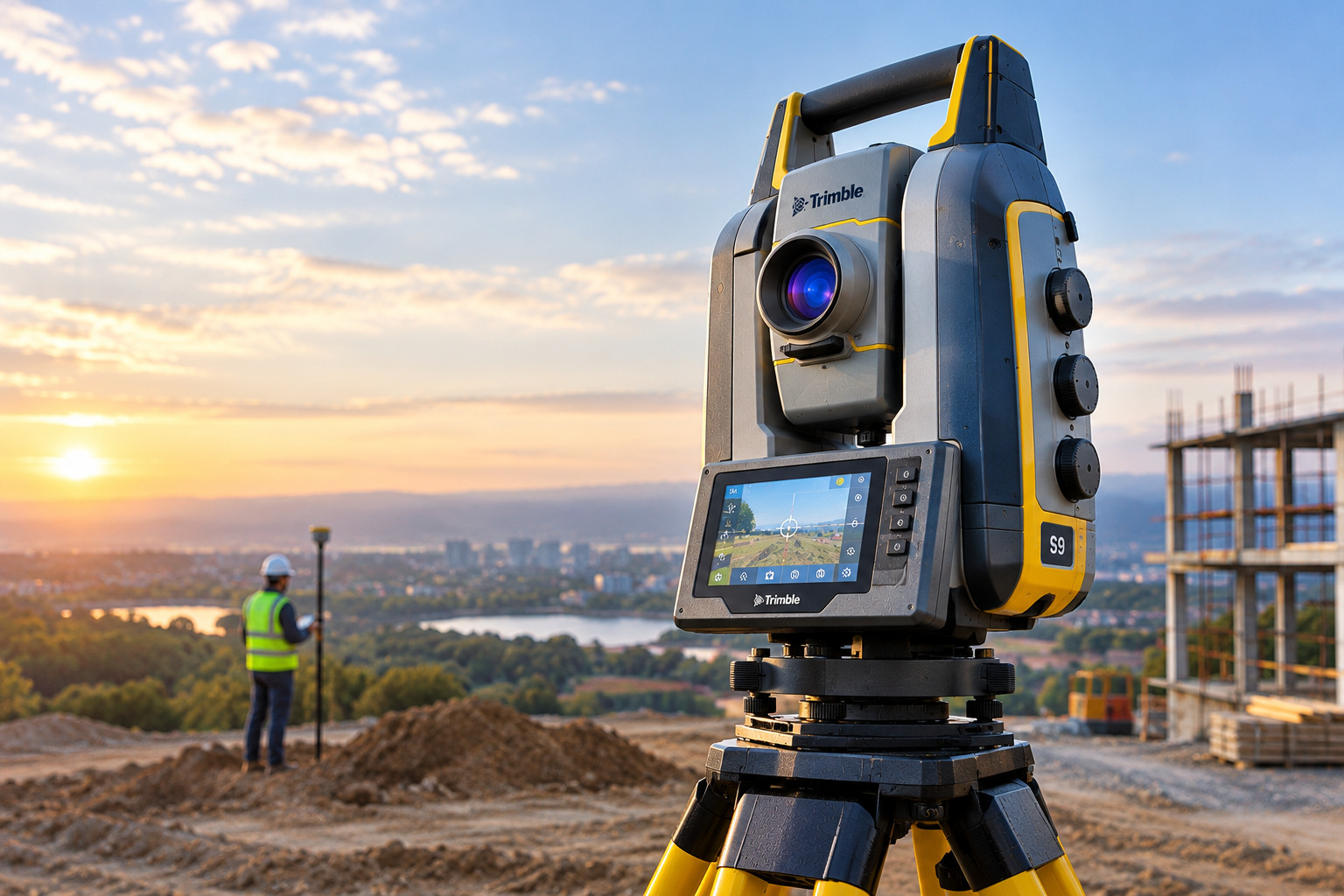
Engineering Surveying for Civil & Construction Projects
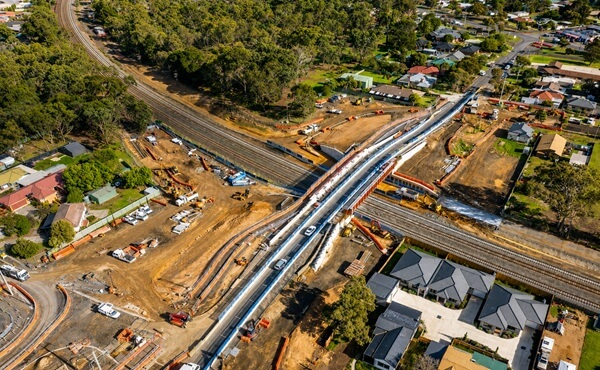
Construction projects depend on translating engineering designs into accurate positions in the real world. Our engineering surveyor Darwin services can provide the control, set-out, measurements, and verification required by contractors and engineering teams throughout construction.
We can assist with roads, structures, earthworks, drainage, utilities, transport infrastructure, industrial facilities, and other civil works. Using modern survey equipment and digital workflows, our teams can provide accurate information at each stage—from establishing site control to verifying completed works. This helps contractors identify discrepancies earlier, maintain construction tolerances, and produce reliable as-built information at completion.
Land & Boundary Surveying in Darwin
Need clarity on property boundaries before building, subdividing, fencing, or planning development? Survey Operations provides professional land surveying in Darwin, including boundary identification, title investigation, easement surveys, and subdivision support.
Our experienced licensed surveyors in Darwin carry out accurate field measurements and cadastral surveying in line with applicable Northern Territory requirements, helping property owners, developers, and project teams make informed decisions with confidence.
Need Reliable Survey Data for Your Darwin Project?
From a single property boundary to complex infrastructure works, accurate survey information helps keep projects moving and reduces uncertainty in the field. Talk to our team about the scope, location, programme, and survey deliverables required for your project.
Why Survey Operations?
- Licensed cadastral surveying capability
- Engineering and construction surveying experience
- UAV, LiDAR and 3D laser scanning technology
- Digital engineering and BIM integration
- Metropolitan, regional and remote project capability
- Strong focus on survey accuracy, safety, and quality
Survey Operations combines field surveying experience with contemporary spatial technology to support projects from initial data capture through to digital project delivery. Pasted markdown
Survey Technology Built for Modern Projects

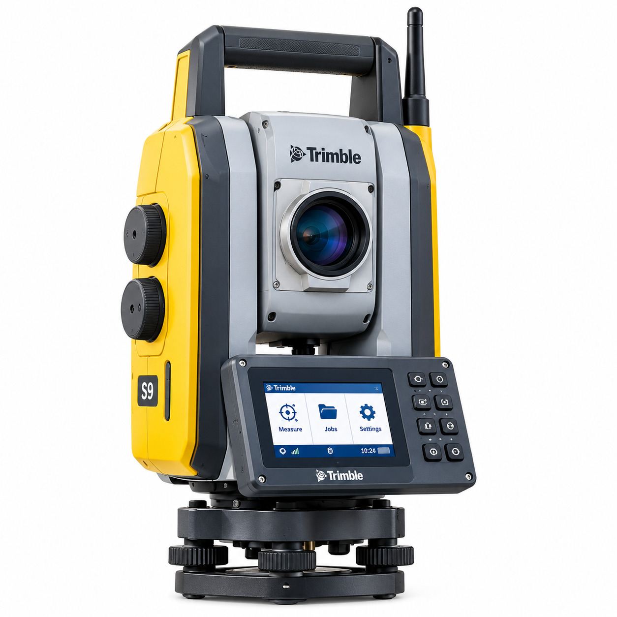
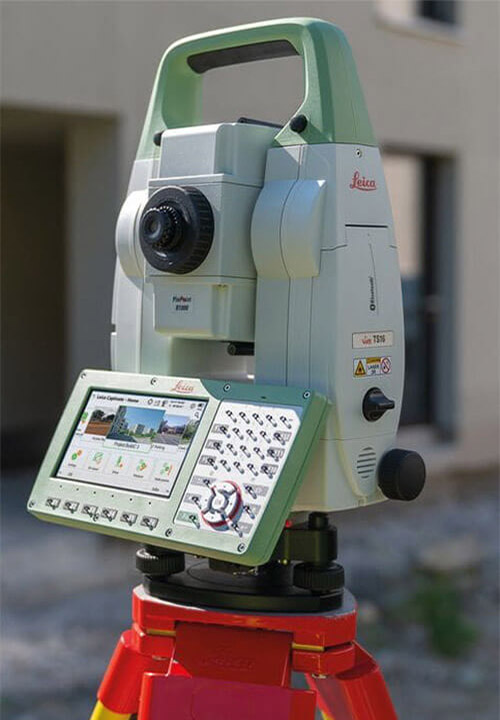
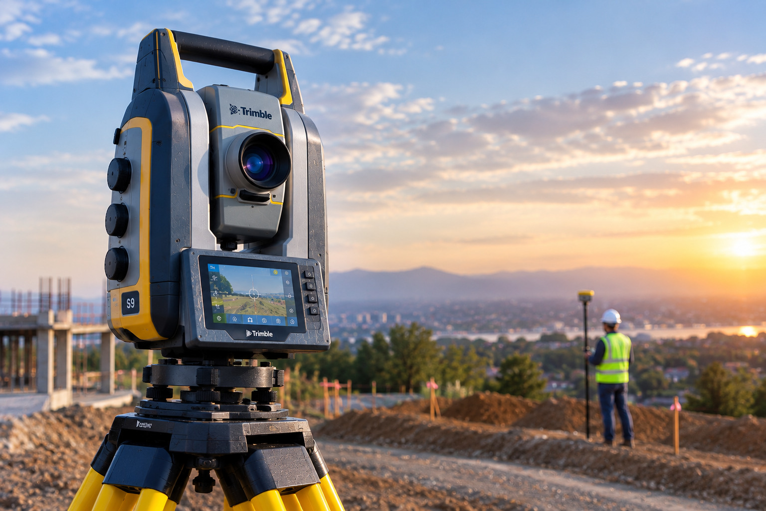
RTK GNSS & Robotic Total Stations
Accurate positioning, construction set-out, control networks, structural surveying, monitoring, and detailed site measurement.

UAV, LiDAR & Reality Capture
Efficient aerial and terrestrial data capture for topographic mapping, point clouds, digital terrain models, and existing-condition documentation.

BIM, GIS & Digital Engineering
Survey data integrated into 12d, BIM, GIS, machine control, and other digital workflows used by engineers, contractors, and project teams.
| Industries We Support |
|---|
| ✓ Roads & Highways |
| ✓ Rail Infrastructure |
| ✓ Mining and Resources |
| ✓ Energy and Renewables |
| ✓ Utilities and Water |
| ✓ Government Projects |
| ✓ Industrial Facilities |
| ✓ Airports and Transport Infrastructure |
Let's Get In Touch
powered by Advanced iFrame
Get a Quote From a Surveyor in Darwin
Whether you require a land surveyor in Darwin for a property project, a boundary surveyor in Darwin for cadastral work, or an engineering surveyor in Darwin for construction and infrastructure, Survey Operations can provide surveying support tailored to your requirements.
We support projects across Darwin, Casuarina, Alawa, Jingili, Moil, Anula, Malak, Leanyer, and locations throughout the Northern Territory. Tell us where your project is located, what surveying work you require, and your preferred timeframe.
Give us a Call
Send us an email
Website
www.surveyoperations.com.au
Frequently Asked Questions
Do you provide licensed boundary surveying in Darwin?
Yes. Survey Operations provides licensed cadastral surveying in the Northern Territory, including boundary identification, title re-establishment, subdivisions, compliance surveys, and other cadastral requirements.
What does a land surveyor in Darwin do?
A land surveyor in Darwin measures and maps land, boundaries, site features, levels, and other spatial information. The exact work depends on whether you require cadastral, construction, engineering, topographic, or development surveying.
When should I hire a boundary surveyor in Darwin?
Consider engaging a boundary surveyor in Darwin before building close to a property boundary, subdividing land, replacing boundary fencing, planning certain developments, or whenever the legal position of a property boundary needs to be established.
Do you provide engineering surveying for construction projects?
Yes. Our engineering surveying services include construction set-out, control networks, bulk earthworks surveys, machine control, structural and utility surveying, feature surveys, as-built surveys, and conformance verification.
Can you provide drone surveying in Darwin?
Yes. UAV surveying can be used for aerial mapping, topographic surveys, orthophotos, stockpile volumes, terrain models, progress monitoring, and corridor mapping. Suitability depends on the project location, required outputs, and applicable operating conditions.
Do you provide 3D laser scanning?
Yes. Survey Operations provides laser scanning and reality capture for infrastructure, industrial, and construction applications. Outputs can include point clouds and digital models for scan-to-BIM, structural verification, digital twins, and asset management.
Can you survey large or remote sites outside Darwin?
Yes. Survey Operations supports projects across metropolitan, regional, and remote locations. Contact our team with the project location and scope so deployment and survey requirements can be assessed.
How quickly can a surveyor attend my Darwin site?
Availability depends on the location, type of survey, project scope, access requirements, and current field schedules. Contact Survey Operations with your required timeframe so the team can advise on suitable mobilisation.
What information should I provide when requesting a surveying quote?
Providing the site location, type of survey required, available plans or drawings, project scope, required deliverables, site-access information, and preferred timeframe will help our team assess the work and prepare an appropriate quote.
How much does a land survey cost in Darwin?
Survey costs vary according to the type of survey, property or site size, location, complexity, existing survey information, access conditions, required deliverables, and timeframe. Contact Survey Operations with your project details for a project-specific quotation.