Land Surveying & Engineering Services in Alice Springs, NT
Looking for an experienced Land Surveyor in Alice Springs for a property, construction, infrastructure, or development project? Survey Operations provides professional surveying and spatial services across Alice Springs, Braitling, and surrounding areas of the Northern Territory.
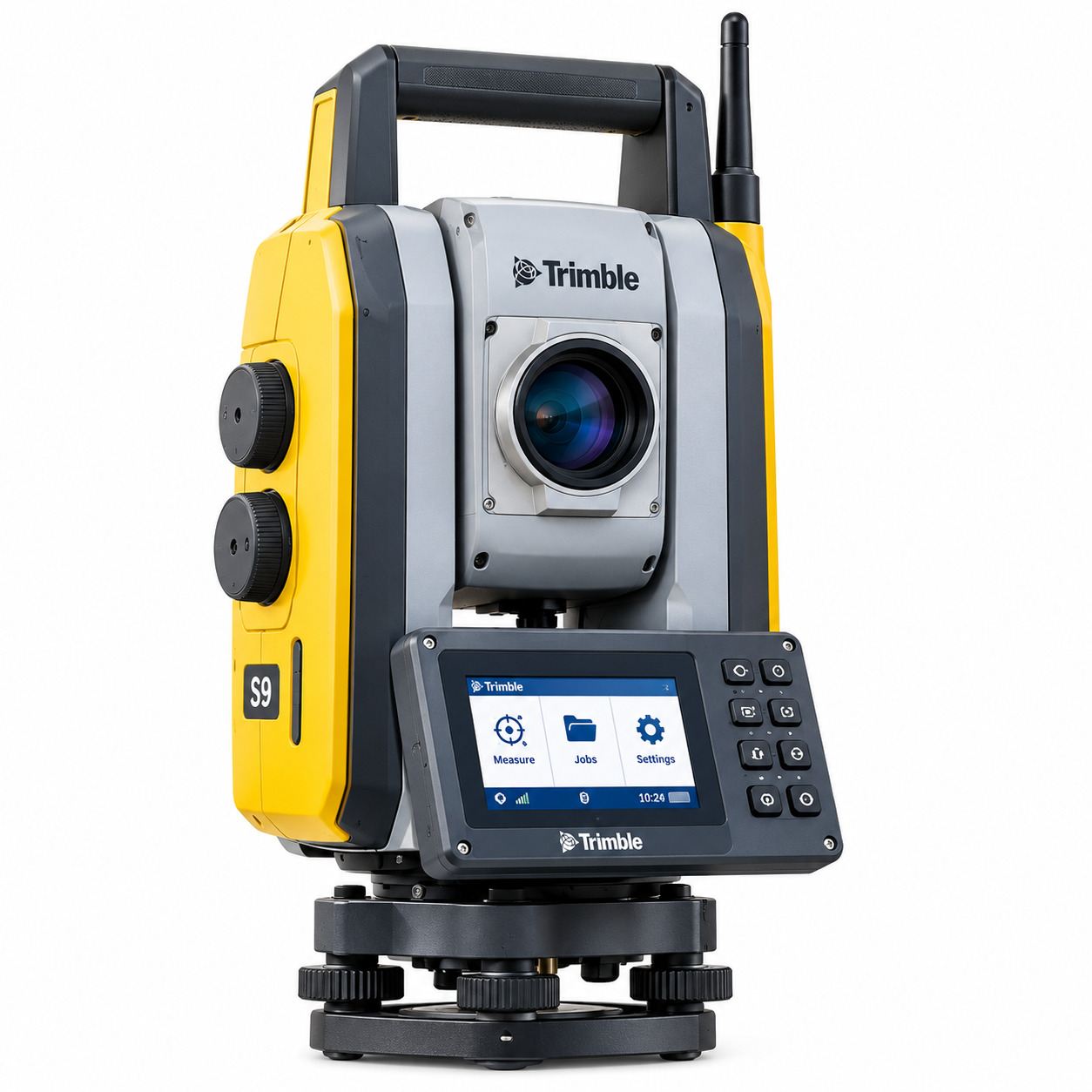
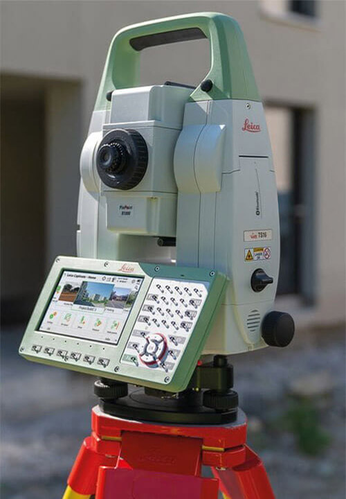
Our capabilities include cadastral and boundary surveying, construction set-out, topographical surveys, UAV and Drone Surveying in Alice Springs, 3D laser scanning, LiDAR capture, and infrastructure surveying.
From residential land and development sites to civil works, utilities, transport, and remote infrastructure projects, our survey teams provide accurate spatial information to support planning, construction, verification, and project delivery.
Need a Surveyor in Alice Springs?
Speak with Survey Operations about your site requirements and get reliable surveying support for your project.
Professional Surveying Services in Alice Springs

Land & Cadastral Surveying
Professional land, boundary, title, subdivision, and cadastral surveying for property and development projects across Alice Springs and Braitling.
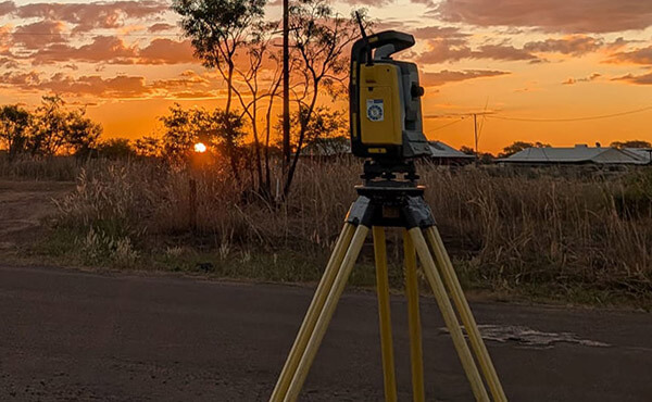
Construction Set-Out
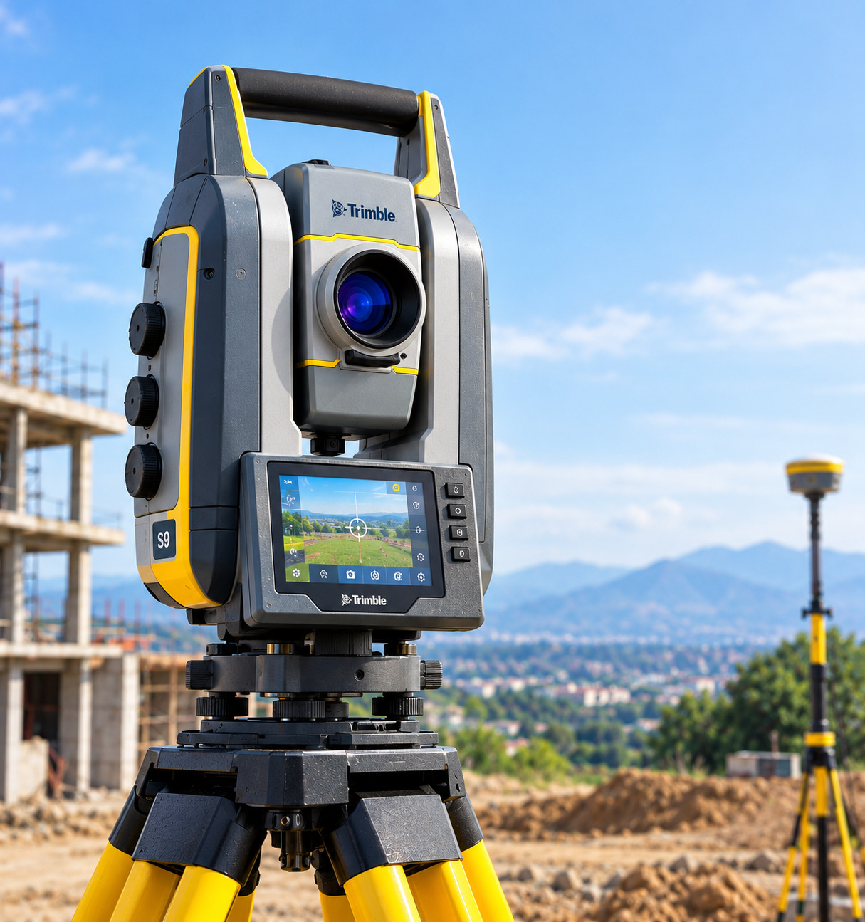
Accurate Construction Set Out in Alice Springs for civil works, buildings, utilities, earthworks, structures, and infrastructure projects.
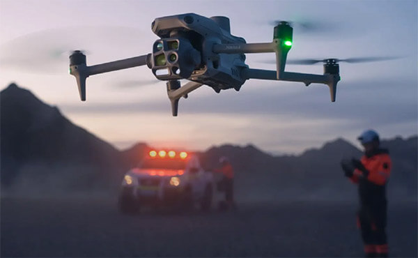
UAV & Drone Surveying
Fast and efficient Drone Surveying in Alice Springs for aerial mapping, terrain modelling, site inspections, stockpile volumes, and project monitoring.
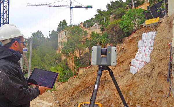
3D Laser Scanning
Detailed 3D Laser Scanning in Alice Springs for buildings, infrastructure, industrial assets, verification, point clouds, and existing-condition documentation.

LiDAR & Reality Capture
High-density LiDAR Surveying in Alice Springs for complex sites, terrain capture, digital modelling, infrastructure assessment, and spatial documentation.
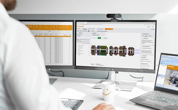
Spatial & Infrastructure Surveying
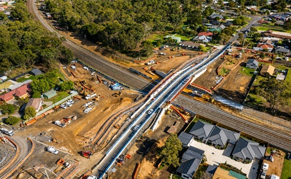
Professional Infrastructure Surveying in the Northern Territory supporting roads, utilities, civil works, transport, energy, and regional development projects.
Land & Cadastral Surveying in Alice Springs
Accurate property and boundary information is important before building, subdividing, developing land, installing fencing, or creating easements. A professional Land Surveyor in Alice Springs can investigate survey and title information, undertake field measurements, establish property boundaries, and provide accurate spatial data for property and development decisions.
Our cadastral capabilities include boundary identification, title re-establishment, subdivisions, easement surveys, feature and level surveys, and other land-related surveying requirements. For projects in Braitling and surrounding areas, our Cadastral Surveyors in Braitling can provide appropriate surveying support for residential, commercial, and development requirements.
Construction & Topographical Surveying in Alice Springs
Construction and civil projects depend on accurate positioning, levels, site control, and verification throughout the project lifecycle.
Survey Operations provides Construction Set Out in Alice Springs for roads, structures, utilities, earthworks, developments, and other civil works. Our survey teams can assist from initial site control and set-out through to verification and as-built documentation.
We also provide Topographical Survey services in Alice Springs, capturing site levels, terrain, structures, features, and existing conditions to support planning, design, engineering, and development.
Why Survey Operations?
- Experienced land and cadastral surveyors
- Construction and infrastructure surveying capability
- UAV and drone mapping technology
- 3D laser scanning and LiDAR capture
- Regional and remote project capability
- Accurate field and digital survey workflows
Survey Operations combines practical surveying experience with modern spatial technology to provide reliable information for property, civil, construction, and infrastructure projects across Alice Springs and the wider Northern Territory.
Need Accurate Survey Data for Your Alice Springs Project?
From property boundaries and topographical surveys to construction set-out and major infrastructure projects, accurate spatial data helps reduce uncertainty and keep work moving.
Advanced Spatial Surveying Technology

Drone Surveying & Aerial Mapping
Our Drone Surveying Alice Springs services provide efficient aerial data capture for large, difficult, or remote sites, supporting mapping, modelling, volumetric calculations, and project monitoring.

3D Laser Scanning & LiDAR
3D Laser Scanning Alice Springs and LiDAR surveying deliver dense point clouds and detailed digital records for structures, infrastructure, terrain, and existing site conditions.

Digital Engineering & Spatial Data
Survey data can be integrated into digital engineering, GIS, BIM, terrain modelling, and other project workflows to support design, construction, and asset management.
| Industries We Support |
|---|
| ✓ Roads & Highways |
| ✓ Rail Infrastructure |
| ✓ Mining and Resources |
| ✓ Energy and Renewables |
| ✓ Utilities and Water |
| ✓ Government Projects |
| ✓ Industrial Facilities |
| ✓ Airports and Transport Infrastructure |
Let's Get In Touch
powered by Advanced iFrame
Get a Quote From a Surveyor in Alice Springs
Whether you need a Land Surveyor in Alice Springs, Drone Surveying in Alice Springs, 3D Laser Scanning in Alice Springs, cadastral surveying, construction set-out, or infrastructure surveying, Survey Operations can provide surveying support tailored to your project.
Visit or contact our Alice Springs team at 14 Adidja St, Braitling, Alice Springs, or call (04) 75044760 to discuss your requirements.
Give us a Call
Send us an email
Website
www.surveyoperations.com.au
Frequently Asked Questions
Do you provide land surveying in Alice Springs?
Yes. Survey Operations provides land, cadastral, boundary, development, and construction surveying services across Alice Springs and surrounding areas.
What does a land surveyor in Alice Springs do?
A Land Surveyor in Alice Springs measures and maps property boundaries, land features, levels, structures, and other spatial information required for development, construction, and property projects.
Do you provide cadastral surveying in Braitling?
Yes. Our Cadastral Surveyors in Braitling can assist with boundary identification, title-related surveys, subdivisions, easements, and other cadastral requirements.
Can you provide drone surveying in Alice Springs?
Yes. Drone Surveying in Alice Springs can support aerial mapping, topographical surveys, terrain models, stockpile calculations, site monitoring, and infrastructure projects.
Do you provide 3D laser scanning and LiDAR surveying?
Yes. We provide 3D Laser Scanning in Alice Springs and LiDAR surveying for structures, infrastructure, terrain, existing-condition capture, and digital modelling.
Do you provide construction set-out services?
Yes. We provide Construction Set Out in Alice Springs for civil, commercial, infrastructure, utility, and development projects.